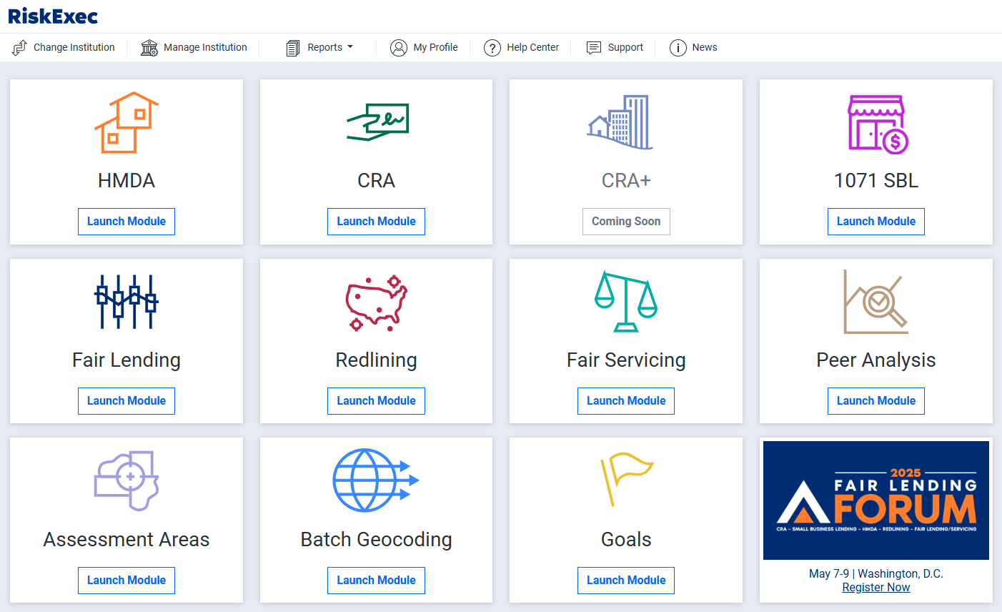
Discover RiskExec's Batch Geocoding Module.

Quickly geocode various data types in bulk and access powerful insights with RiskExec's interactive mapping tool to make better data-driven decisions.
Request a Demo
RiskExec Geocoding Module
RiskExec Geocoding and Mapping Module Hero

Multi-Layered Geocoding Capabilities

  • Achieve pinpoint location precision with advanced multi-layered geocoding technology.
  • Ping multiple sources with RiskExec’s geocoder to ensure the highest geocoding hit rate, delivering complete and reliable results with an intuitive user experience.
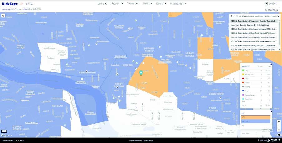
  • Unlock additional layers, including census boundaries, ZIP codes, and demographic data for a more comprehensive view of your data.

Customizable Map

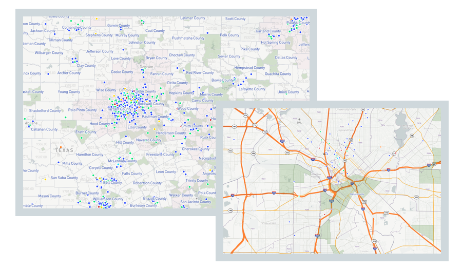
  • Leverage RiskExec’s built-in, interactive mapping tool to uncover trends in various data types to identify performance gaps, and gain deeper insights and drive smarter business decisions.
  • Gain visibility into lending and customer distribution, branch locations, marketing outreach, and more.
  • Easily design, save and print personalized maps for both internal and external use, streamlining workflows and enhancing presentations.
Geocoding_Customized_Views_RiskExec
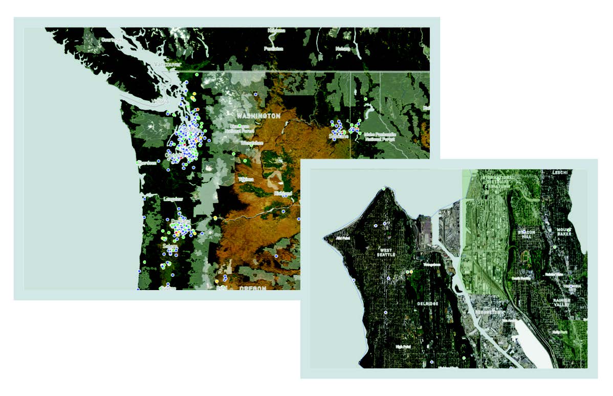
Geocoding_Satellite_Image_RiskExec

Satellite Imagery

  • Transform your maps with satellite imagery for a more precise view of locations, delivering valuable perspectives into terrain, infrastructure, and geographic details.
  • Easily tell the difference between a missed opportunity and a mountain range with satellite image views of your maps.

Map Assessment Areas & REMAs

  • Easily apply layers, including borders, geophysical features, and assessment area or reasonably expected marketing area (REMA) boundaries down to the tract level.
  • Visualize where your customers are, identify gaps, and spot new opportunities for community outreach directly on the map by plotting out your lending, deposit accounts, branches, ATMs, and more - all in one powerful view.
RiskExec Batch Geocoding

Dynamic Importing Available

  • Import various data types with ease utilizing RiskExec’s Dynamic Import Wizard.
  • Save time by creating and storing import formats for different sources, streamlining your workflow for a more efficient, repeatable process.

Modern Mapping Technology

Unlimited Licenses 

Backed by Industry Leading Expertise

No Software to Install or Maintain

User Friendly & Intuitive

Automatic Updates with Latest Government Data

Want to learn more about RiskExec? Connect with
our experts today.

info@riskexec.com 
(865) 544-8525

Contact Us for a Demo
linkedin facebook pinterest youtube rss twitter instagram facebook-blank rss-blank linkedin-blank pinterest youtube twitter instagram