Discover RiskExec's Batch Geocoding Module.

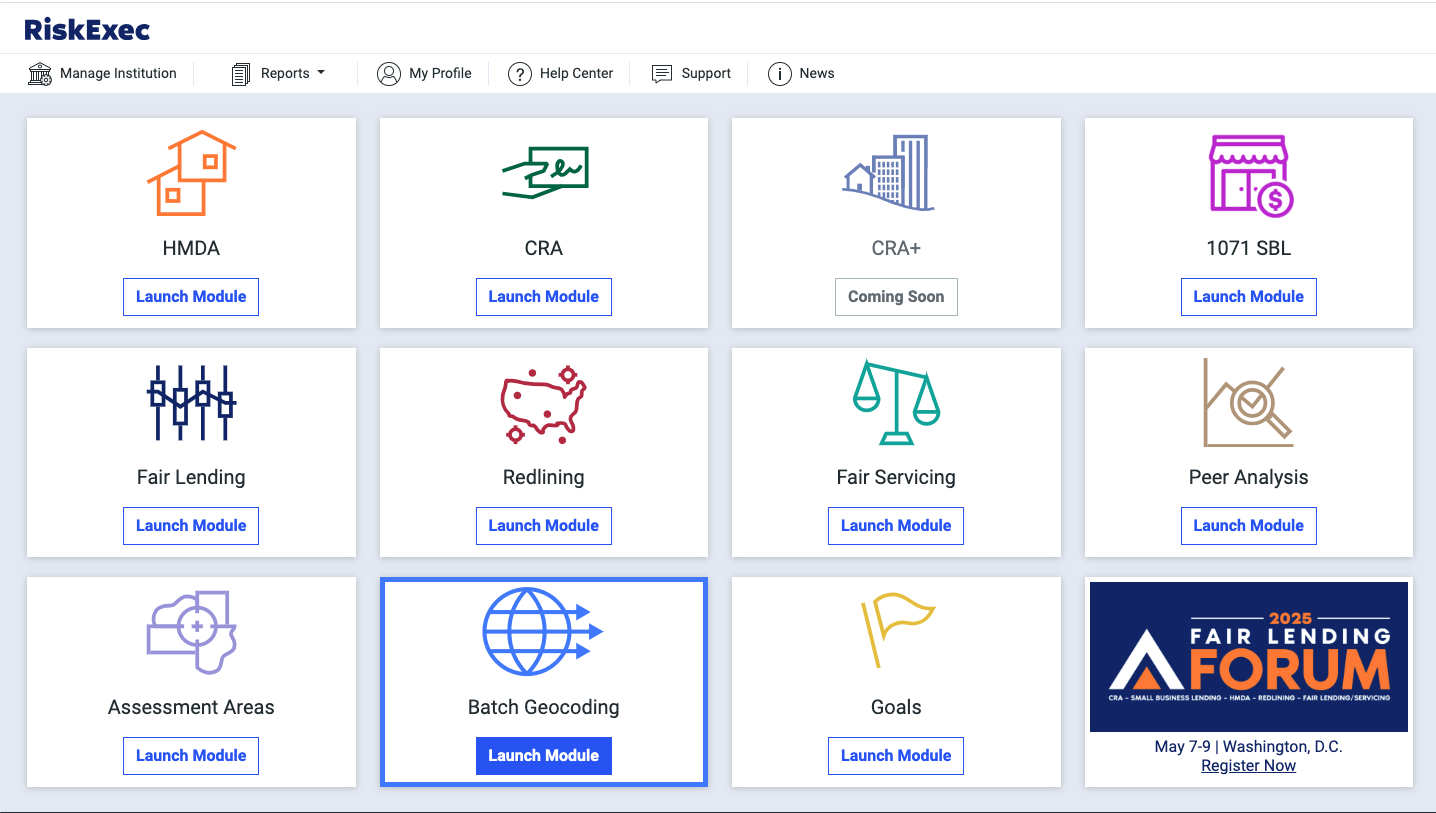
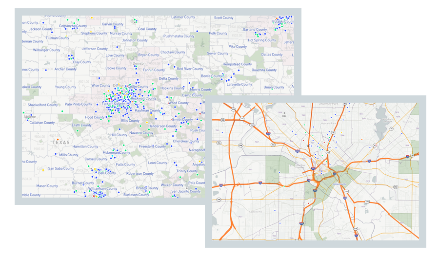
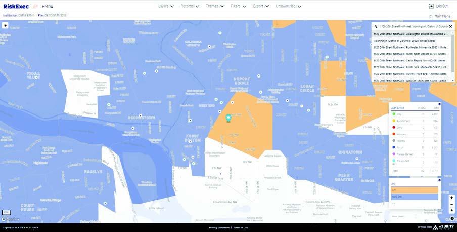
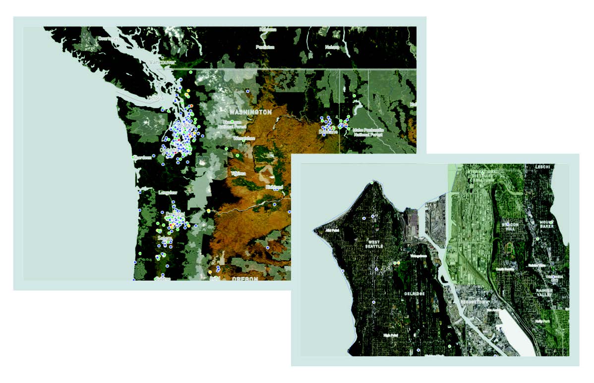
Quickly geocode various data types in bulk and access powerful insights with RiskExec's interactive mapping tool to make better data-driven decisions.

Request a Demo
RiskExec Geocoding Module
RiskExec Geocoding and Mapping Module Hero

Multi-Layered Geocoding Capabilities

  • Achieve pinpoint location precision with advanced multi-layered geocoding technology.
  • Ping multiple sources with RiskExec’s geocoder to ensure the highest geocoding hit rate, delivering complete and reliable results with an intuitive user experience.
  • Unlock additional layers, including census boundaries, ZIP codes, and demographic data for a more comprehensive view of your data.

Customizable Map

  • Leverage RiskExec’s built-in, interactive mapping tool to uncover trends in various data types to identify performance gaps, and gain deeper insights and drive smarter business decisions.
  • Gain visibility into lending and customer distribution, branch locations, marketing outreach, and more.
  • Easily design, save and print personalized maps for both internal and external use, streamlining workflows and enhancing presentations.
Geocoding_Customized_Views_RiskExec
Geocoding_Satellite_Image_RiskExec

Satellite Imagery

  • Transform your maps with satellite imagery for a more precise view of locations, delivering valuable perspectives into terrain, infrastructure, and geographic details.
  • Easily tell the difference between a missed opportunity and a mountain range with satellite image views of your maps.

Map Assessment Areas & REMAs

  • Easily apply layers, including borders, geophysical features, and assessment area or reasonably expected marketing area (REMA) boundaries down to the tract level.
  • Visualize where your customers are, identify gaps, and spot new opportunities for community outreach directly on the map by plotting out your lending, deposit accounts, branches, ATMs, and more - all in one powerful view.
RiskExec Batch Geocoding

Dynamic Importing Available

  • Import various data types with ease utilizing RiskExec’s Dynamic Import Wizard.
  • Save time by creating and storing import formats for different sources, streamlining your workflow for a more efficient, repeatable process.

Modern Mapping Technology

Unlimited Licenses 

Backed by Industry Leading Expertise

No Software to Install or Maintain

User Friendly & Intuitive

Automatic Updates with Latest Government Data

Want to learn more about RiskExec? Connect with
our experts today.

info@riskexec.com 
(804) 977-1804

Contact Us for a Demo

What modules are you interested in?
What industry are you in?
This field is for validation purposes and should be left unchanged.
linkedin facebook pinterest youtube rss twitter instagram facebook-blank rss-blank linkedin-blank pinterest youtube twitter instagram